
Just In News
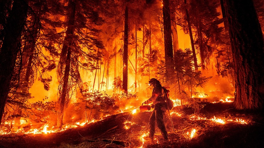
Fast-growing flames have been responsible for the lion’s share of U.S. wildfire-related damage in recent years, despite being relatively rare occurrences, a new study has found.
Nearly 90 percent of such destruction that took place between 2001 and 2020 occurred during “fast fires,” or those that thrust embers into the air ahead of encroaching flames, according to the study, published Wednesday in Science.
Fast fires, which can ignite homes before emergency responders are able to intervene, are becoming even faster across the U.S. West — jeopardizing millions of people, the study authors warned.
“We hear a lot about megafires because of their size, but if we want to protect our homes and communities, we really need to appreciate and prepare for how fast fires move,” lead author Jennifer Balch, an associate professor of geography at the University of Colorado Boulder, said in a statement.
“Speed matters more for keeping people safe,” added Balch, who is also a fellow at the Cooperative Institute for Research in Environmental Sciences, a joint initiative between CU Boulder and the National Oceanic and Atmospheric Administration.
Balch and her colleagues — from multiple institutions across the U.S. West — focused on the December 2021 Marshall Fire, which destroyed more than a thousand homes in Boulder County.
While the fire burned less than 6,100 acres in total, it grew quickly due to a combination of dry and windy conditions, the authors explained. Just under an hour after the fire was reported, it spread to a town 3 miles away — necessitating the evacuation of tens of thousands of people.
In addition to focusing on the Marshall Fire, the researchers analyzed the growth patterns of fast fires in general by studying satellite data from more than 60,000 blazes that occurred in the contiguous U.S. between 2001 and 2020. Specifically, they applied a set of calculations to each satellite pixel that could identify and record the perimeter of all fires for every day they were active.
“We harnessed Earth observations and remote sensing data to learn about fire growth across the nation in a systematic manner,” co-author Virginia Iglesias, interim director of CU Boulder’s Earth Lab, said in a statement.
The scientists were then able to use their resultant fire perimeter maps to determine the growth rates of the fires as they progressed. Zooming in on fires that grew more than 4,003 acres in a single day, they found that the average maximum growth rate of these blazes underwent a 250 increase over the course of the research period.
Meanwhile, the authors observed that fast fires were responsible for 88 percent of the home destruction caused by wildfires between 2001 and 2020, even though they represented only 2.7 percent of blazes on record. Incidents that ravaged more than 100 structures showed peak fire growth rates of more than 21,000 acres in a day, according to the study.
Given these stark findings, the researchers warned government agencies and insurance companies that the wildfire risk models they are using may be insufficient — as such tools do not incorporate fire growth rate or speed.
Going forward, they called for a change in these vital calculations and considerations.
“Fires have gotten faster in the western U.S. in just a couple of decades,” Balch said. “We need to focus on what we can do to prepare communities: hardening homes and making robust evacuation plans.”
Equilibrium & Sustainability, Energy & Environment, News, wildfires Read More
Author Profile
Latest entries
 HeadlinesOctober 24, 2024State senator dies following freak lawn mower accident
 HeadlinesOctober 24, 2024Letter at center of Menendez brothers' bid for freedom called into question
 HeadlinesOctober 24, 2024Ask a doctor: ‘Why are my ears ringing, and should I see a physician?’
 HeadlinesOctober 24, 2024Trump camp says Dem rhetoric 'directly to blame' for past assassination attempts